
Langtang Trek After Bhotekoshi Flood: Is It Open and Safe?
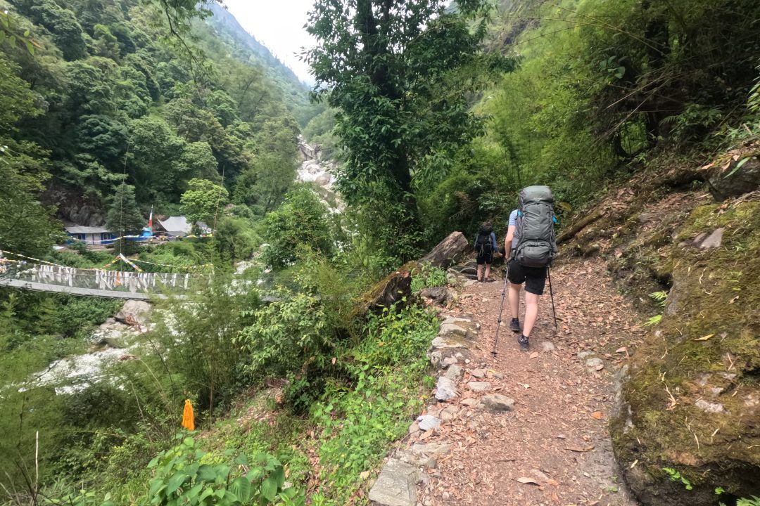
Quick answer: The standard Langtang trekking route is currently unsafe because of the August 26 Bhotekoshi flood. The main route to the trailhead, Syabrubesi, is severely damaged, as are the access roads, bridges, and infrastructure.
For years, Langtang has been the trek people recommend when someone asks for “Everest-level scenery without the Everest-level commitment.” It sits just a short drive from Kathmandu; it winds through Tamang villages steeped in Tibetan Buddhist culture, and it delivers close-up views of 7,000-meter peaks in under a week. It has long been one of Nepal’s most accessible, culturally rich, and quietly spectacular treks.
That accessibility is exactly what has been lost, at least for now. Langtang Trek After Bhotekoshi Flood is now a major concern for trekkers who are planning to visit this autumn season.
On the morning of August 26, 2026, a catastrophic flash flood tore down the Bhote Koshi river system on the Nepal–Tibet border. The flood devastated Rasuwa district and the gateway town of Syabrubesi.
This post breaks down what actually happened, why the route is closed, what officials are saying, and the current situation of Langtang Trek.
Table of Contents
What Happened? The August 26, 2026 Bhotekoshi Flash Flood
The disaster began high above the border, not in the Langtang valley itself. A large glacial and rock collapse on the Tibetan side sent a surge down the Lhende Khola. It is a tributary that meets the Bhote Koshi near the Rasuwagadhi border crossing.
Within minutes, that wall of water and debris was moving down the narrow Bhote Koshi gorge. The only road between Kathmandu and the Chinese border follows this same corridor. The flood then poured into the Trishuli River system.
The impact zone centered on Syabrubesi, the small town that has served for decades as the trailhead for the Langtang Valley Trek, the Tamang Heritage Trail, and Gosaikunda. Syabrubesi and the nearby border settlements of Timure and Rasuwagadhi took the brunt of the destruction:
- Bridges connecting the road corridor and local trekking paths were washed out.
- Lodges, homes, and small businesses in Syabrubesi were flooded and structurally damaged.
- Local communities that depend almost entirely on seasonal trekking income lost infrastructure right at the start of the autumn tourist season.
- Hundreds of tourists, guides, porters, and customs workers along the border corridor were left unaccounted for in the immediate aftermath, with search and rescue operations continuing for weeks afterward.
Casualty and damage figures were still being revised well into September. This is typical for a disaster of this scale in remote mountain terrain. However, even the earliest confirmed counts made clear that this was one of the most severe flood events Nepal has experienced in this river system in years.
One important nuance that’s easy to miss in headlines: the flood came down the Bhote Koshi, which carries the road. The Langtang Khola, which carries the actual walking trail east of Syabrubesi, was not directly hit. That distinction matters for understanding why the trek is closed. It is largely a problem of access, not necessarily the upper trail itself.
Infrastructure Collapse: The Pasang Lhamu Highway
The Pasang Lhamu Highway is the lifeline connecting Kathmandu to Syabrubesi and the Langtang region. It’s the road every trekker, jeep, and public bus takes to reach the trailhead. It is also, even in a normal year, a narrow, landslide-prone mountain road. The August 26 flood turned chronic vulnerability into acute collapse.
Current road conditions include:
- Major landslides and road subsidence across long stretches, particularly between Betrawati, Dhunche, and Syabrubesi.
- Washed-out asphalt sections and destroyed bridge approaches, with some reports citing dozens of bridges lost across the wider Rasuwa–Nuwakot road network.
- A road through Dhunche that, as of early September, is being reserved for the Nepal Army and rescue and relief agencies rather than commercial or tourist traffic.
The logistical result is straightforward: buses and jeeps cannot reliably or safely reach Syabrubesi right now. Even where sections are passable, they are being used for emergency and relief operations, not tourism. Nepal Army engineers and the Department of Roads have been working to clear debris and establish emergency-only tracks. However, full reconstruction on such unstable terrain is likely to take weeks or months, not days.
Why the Standard Langtang Trek Route Is Unsafe Right Now
Put together, four separate problems currently make the classic Langtang itinerary a non-starter:
Broken gateways. You simply cannot get to the trailhead. Syabrubesi, the traditional starting point, was itself damaged, and the road to reach it is closed to tourist transit.
Unstable terrain. Geologists and hydrologists monitoring the area have flagged an ongoing risk of secondary landslides and surge floods. Some debris and water from the initial event have not fully drained from the upper catchments. Riverbanks and footpaths near the flood corridor remain weakened.
Rescue and medical limitations. In a region where the road itself is compromised, a trekking injury or altitude emergency becomes much harder to respond to. Evacuation currently depends heavily on helicopters that are already stretched thin supporting disaster relief.
Lack of basic amenities. The flood damaged teahouses and homes along the lower stretches of the route near Syabrubesi. As a result, water, electricity, and sanitation systems that trekkers normally rely on are compromised or entirely offline in that area.
None of this means the high Langtang Valley itself has been destroyed. By most accounts, the upper trail beyond Syabrubesi was not directly hit. However, a trail that cannot be safely reached, supplied, or evacuated is, in practical terms, closed.
What Local Authorities and Experts Are Saying
Nepal’s tourism and disaster-response institutions have been consistent: stay out of Rasuwa district until official clearance is given. The Nepal Tourism Board, the Rasuwa District Administration Office, and coordination bodies like the Himalayan Rescue Association have directed trekkers to avoid travel into the affected area. Search, rescue, and infrastructure assessment are still ongoing. Foreign embassies have echoed the same guidance.
The Trekking Agencies’ Association of Nepal (TAAN), which represents the operators who actually run these trips, has been explicit in its route-by-route safety assessment. Langtang, Gosaikunda, the Tamang Heritage Trail, and the overland route to Kailash via Rasuwagadhi are all listed as affected and closed. TAAN has also confirmed that major destinations like Everest and Annapurna sit in unaffected river systems and remain open.
Reputable trekking companies have responded by suspending or postponing autumn Langtang-region departures. They are not trying to push through on damaged infrastructure. Several operators have publicly estimated that the standard route will not be realistically usable again until late September at the earliest. This will depend on the pace of road repairs and follow-up safety inspections.
Underneath all of this is a simpler point worth sitting with: this is, first and foremost, a humanitarian emergency for the people of Rasuwa. Search and rescue, road clearance, and relief distribution are rightly taking precedence over restarting tourism. Trekkers and agencies are being asked to respect that.
Alternatives for Travelers in Nepal Right Now
If you’re already in Nepal or have an autumn trip booked, the good news is that this disaster is geographically contained to the Bhote Koshi and Trishuli river corridors. Most of Nepal’s major trekking regions sit in different watersheds and are running normally.
Here is the top alternative trekking destination we recommend for you:
- Everest Region (Khumbu): Reached by flying directly into Lukla, this route bypasses the affected road network entirely and has been confirmed unaffected. Here you can choose EBC, Three Pass, Gokyo and Pikey Peak Trek.
- Annapurna Circuit or Annapurna Sanctuary – This separates from the Rawusa/Trishuli route, but the Kathmandu-Muglin section of Prithvi Highway can be affected due to road closures. Flying is the best option as per the current scenario.
- Manaslu Circuit or Mardi Himal – Best alternative destination for the travellers who are looking for a budget-friendly trek option.
The golden rule for this autumn season: As soon as the monsoon ends, the route to all trekking destinations will be normal. We suggest foreign citizens not to cancel any trek. Nepal is completely safe to travel.
Frequently Asked Questions(FAQs)
Can I reach Langtang Valley by taking a secondary road?
- Some secondary roads may provide limited access to parts of the region, but they are not currently recommended for trekkers. Road conditions are changing, and any alternative route should only be used after it is officially inspected and declared safe.
Can I use a helicopter to reach Langtang Valley?
- Yes, it is possible to reach the Langtang Valley by helicopter. However, helicopters may currently be needed for search, rescue, and relief operations. Therefore, please check with your tour operator for helicopter availability.
When can I safely start the Langtang Trek again?
- The Langtang Trek should resume only after road access to Syabrubesi or an officially approved alternative route is restored.
Conclusion
We are deeply saddened by the loss of lives due to the catastrophic Bhotekoshi flood. We will rise again and rebuild our communities stronger than before.
Nepal’s economy depends upon tourism. So we request foreign citizens not to panic and avoid misinformation. Most of our trekking destination are safe to travel, and we hope that the Langtang Trek will also reopen soon after the rebuilding of Syabrubesi.
The construction of road access and the rebuilding programme are ongoing. As per the current scenario, we personally don’t recommend doing the Langtang trek until road access is restored or a secondary travel route is officially considered safe for trekkers. Please don’t take risks now.
Visiting the affected areas after rebuilding helps them to encourage and financially aid their recovery.
Have a trip booked to Langtang this autumn, or questions about alternative routes? Contact High Route Adventure tour operator +977-9851058664 via Whatsapp/Phone to get real-time updates on Nepal’s trekking trails as the situation develops.
-
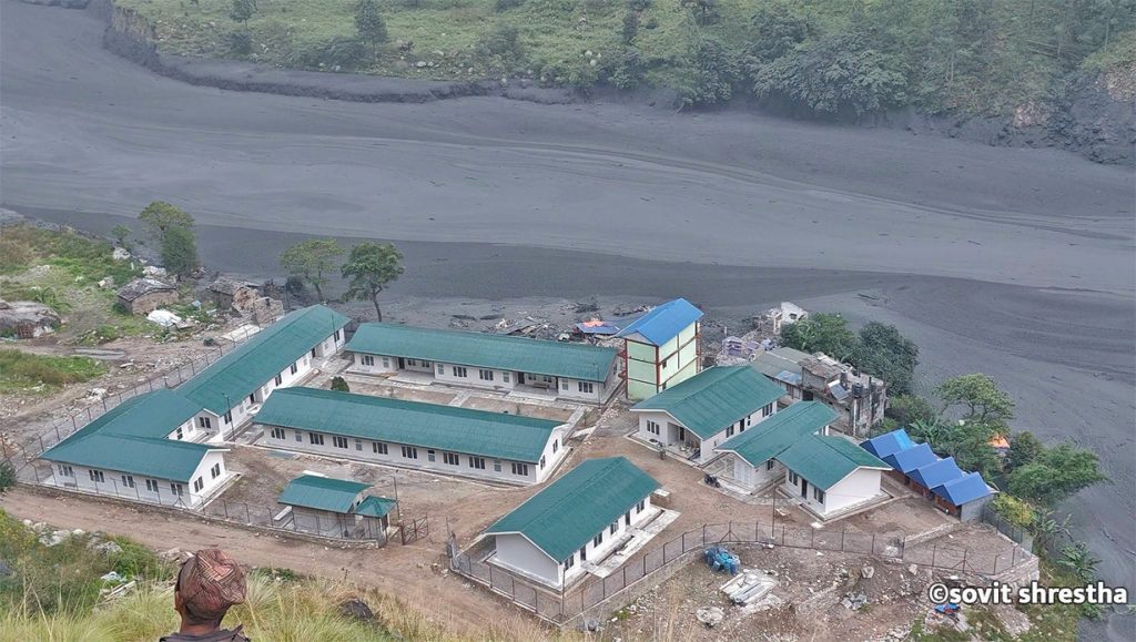
Flash Flood Sweeps Away Dozens of Homes in Gorkha, Nepal
KATHMANDU, Nepal — A sudden and severe flash flood tore through the Budhi Gandaki River basin in Gorkha district on Sunday morning, washing away approximately 35 houses and triggering widespread destruction in the mountainous Manaslu and Tsum Valley regions. According to local authorities and disaster management officials, no human casualties have been reported thus far, though…
-
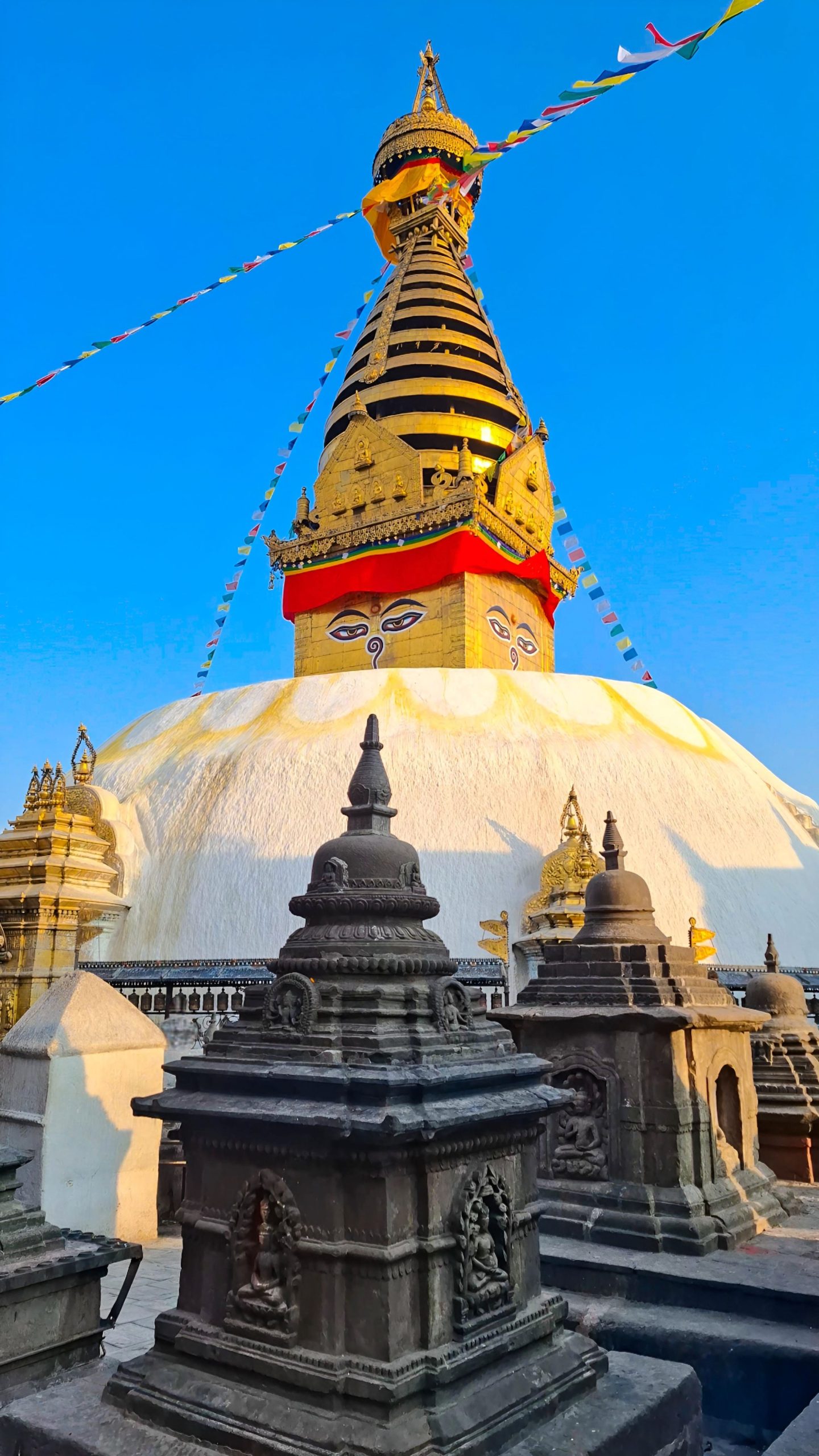
Swayambhunath Temple, Kathmandu
Imagine standing above the chaos of Kathmandu. Honking horns fade below you. A gleaming white dome rises ahead. Two enormous painted eyes gaze calmly in every direction. Prayer flags flutter in the Himalayan breeze. This is Swayambhunath, one of the most extraordinary places in Nepal. Visitors know it as the “Monkey Temple” because hundreds of…
-

North Goa vs South Goa: Which Is Better for Your Holiday?
Amongst the places that are highly popular in terms of beaches, weather, culture, and ambiance in India is Goa, which is known to possess some of the most beautiful beaches in India. The idea of Goa being famous for its beaches, which can be used by tourists for entertainment in North Goa while South Goa…